
One platform.
Built for analysts.
From the analyst's screen to the operator's boots on the ground, C2Grid turns raw drone footage into a shared 3D picture every role in the mission can act on.
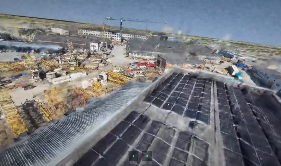
Multiple roles
Built for every seat in the mission
The same reconstruction serves the whole chain - each role sees the layer of detail it needs, in a picture everyone shares.
For analysts
Find what matters in the imagery.
Toggle visual and thermal layers
Identify activities and changes
Export insights to ISTAR workflows
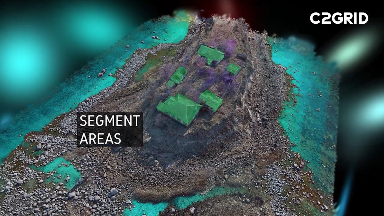
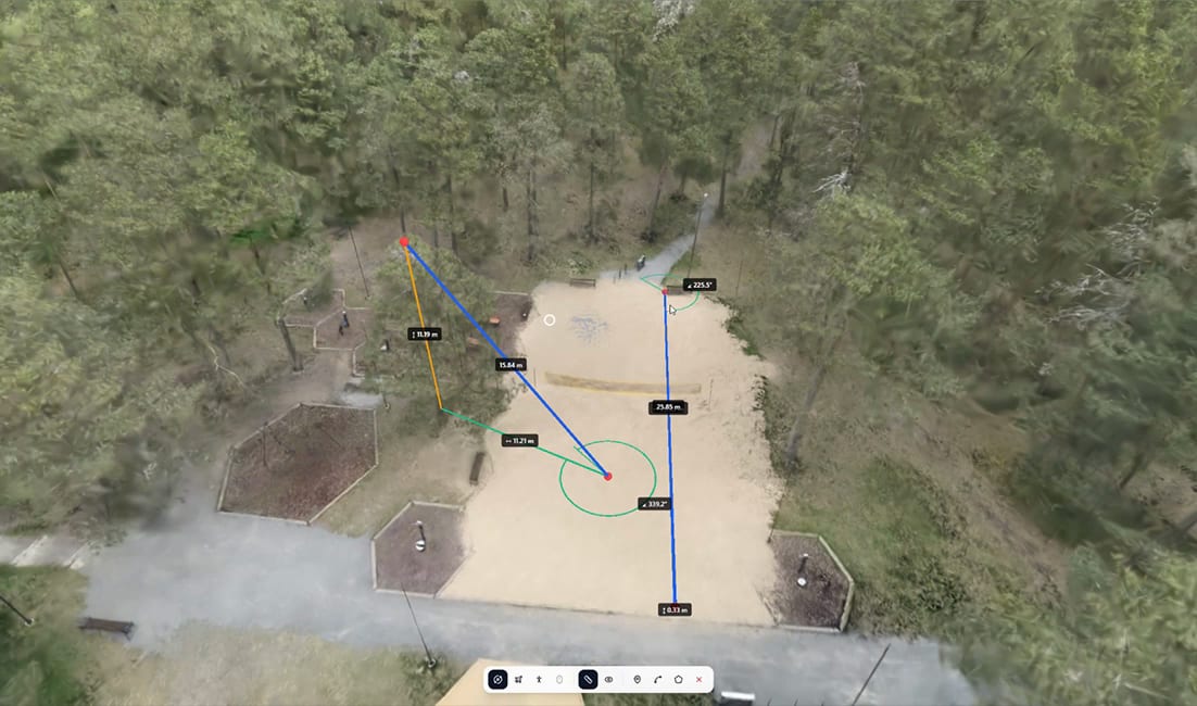
For planners
Turn terrain into a plan.
Measure distance and elevation
Inspect line-of-sight
Identify points of interest
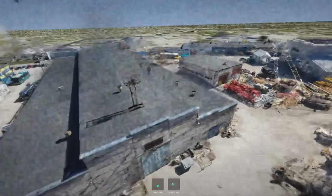
For operators
Move with confidence on the ground.
Familiarize with the area
Rehearse the mission
Navigate GNSS-denied conditions
Dual-use potential
Beyond the battlefield
The same platform that proves itself in defence serves the civilian teams who face the same problem - seeing ground truth, fast.
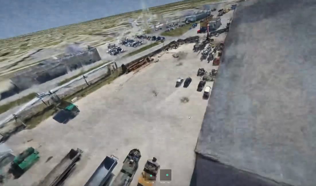
Police & security
Survey incident sites and plan operations across complex urban terrain - without putting officers in the open to do it.
Find your team's use case
Request a demo and see how C2Grid fits the way your analysts, planners, and operators already work.