
See the battlefield in
full 3D
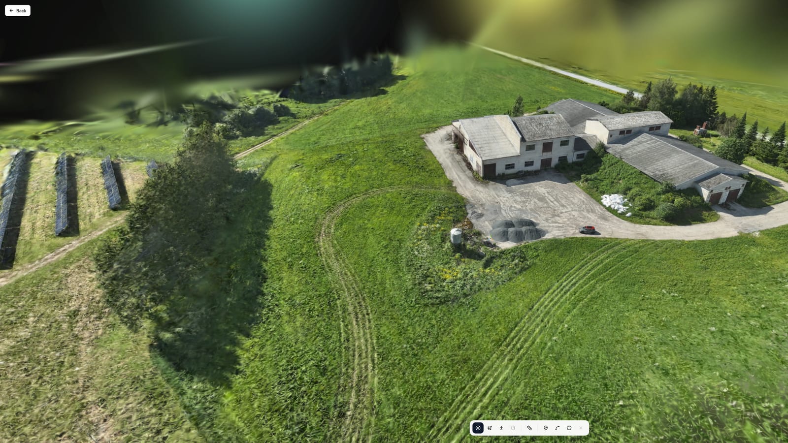
Near real-time 3D reconstruction from drone footage. Built for contested environments.
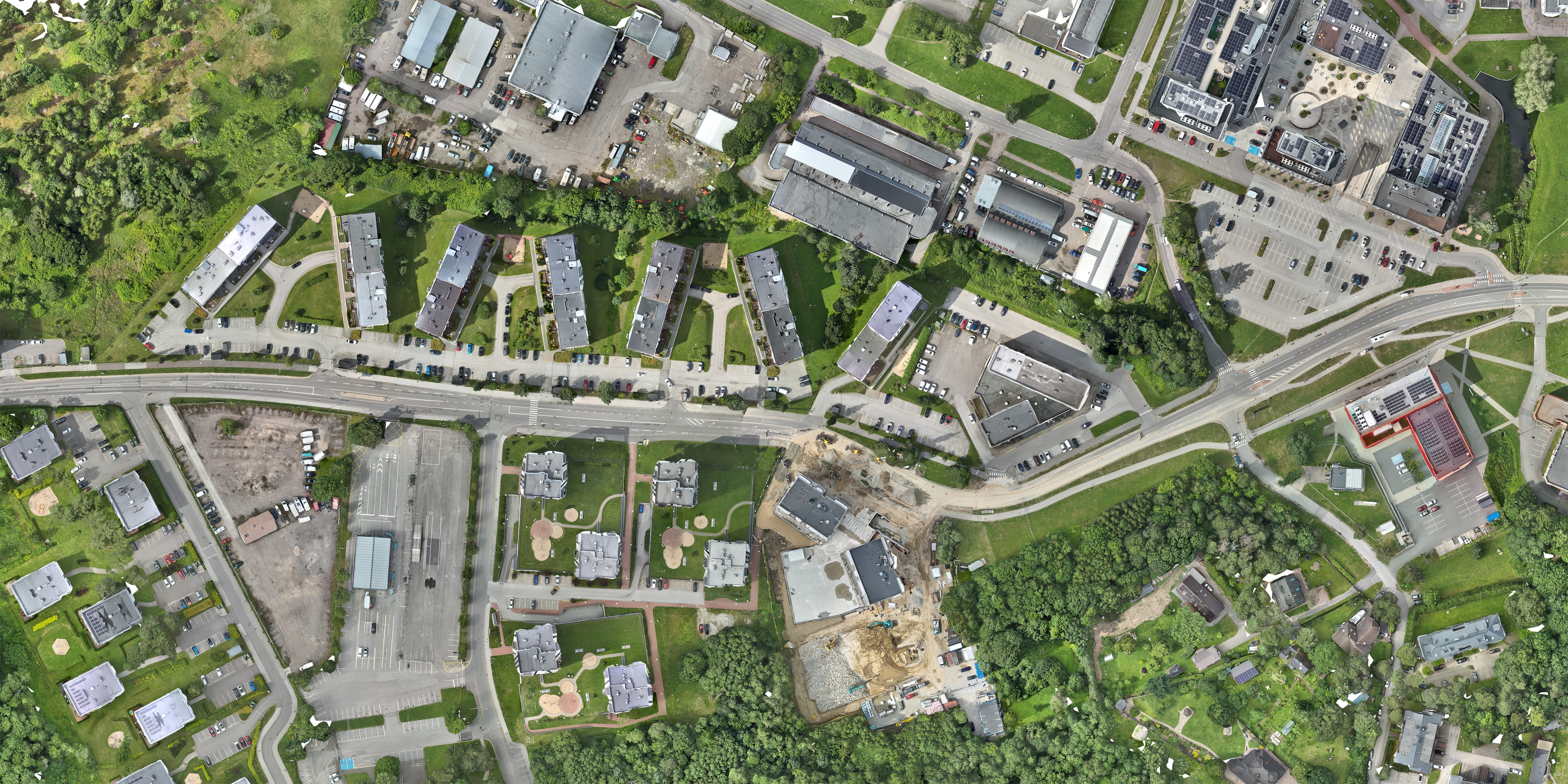
Orthophoto detail at every scale
See beyond the visible spectrum
Combine visual, thermal, and NIR spectra into a single 3D map. Verify whether an object is what it appears to be.
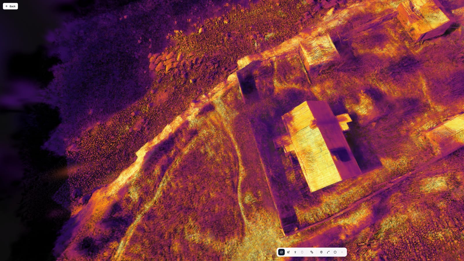
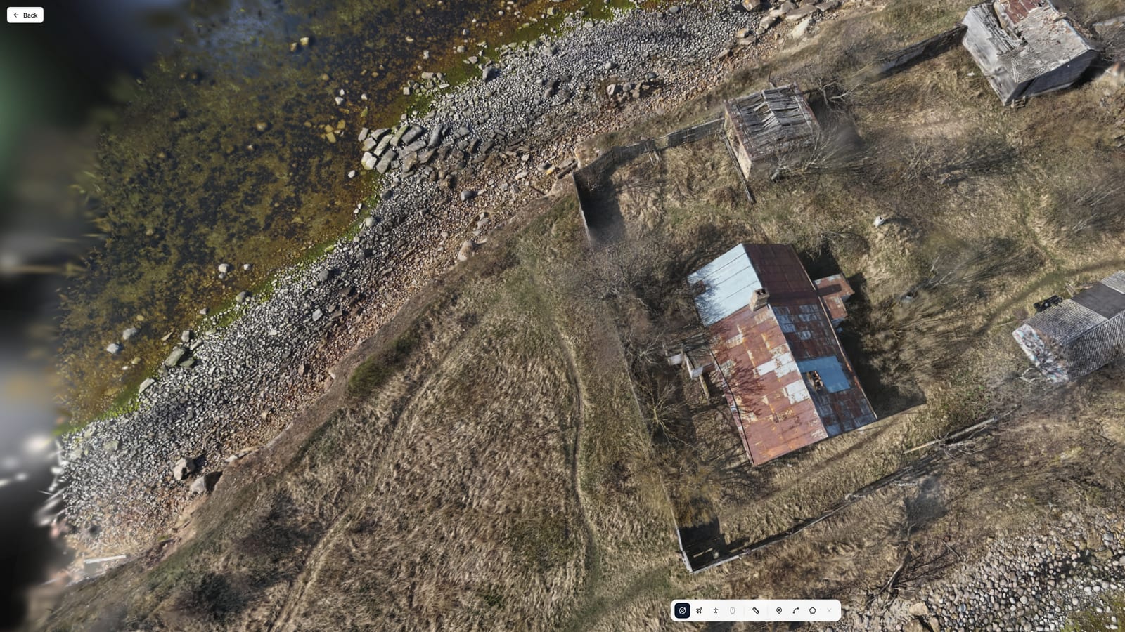
Thermal
Detect body heat, engine warmth, and thermal anomalies invisible to standard optics.
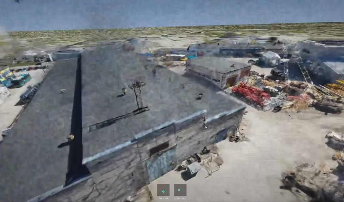
Spatial intelligence in denied environments
Full 3D reconstruction without GPS dependency. No position signals emitted - stealth-compatible operation in electronically contested zones.
From hours to minutes
Near real-time 3D reconstruction means operators get actionable intelligence when it matters.
Traditional Pipeline
0h
C2Grid
0 min
Interact with your intelligence
Annotate, measure, and export directly from the 3D environment.
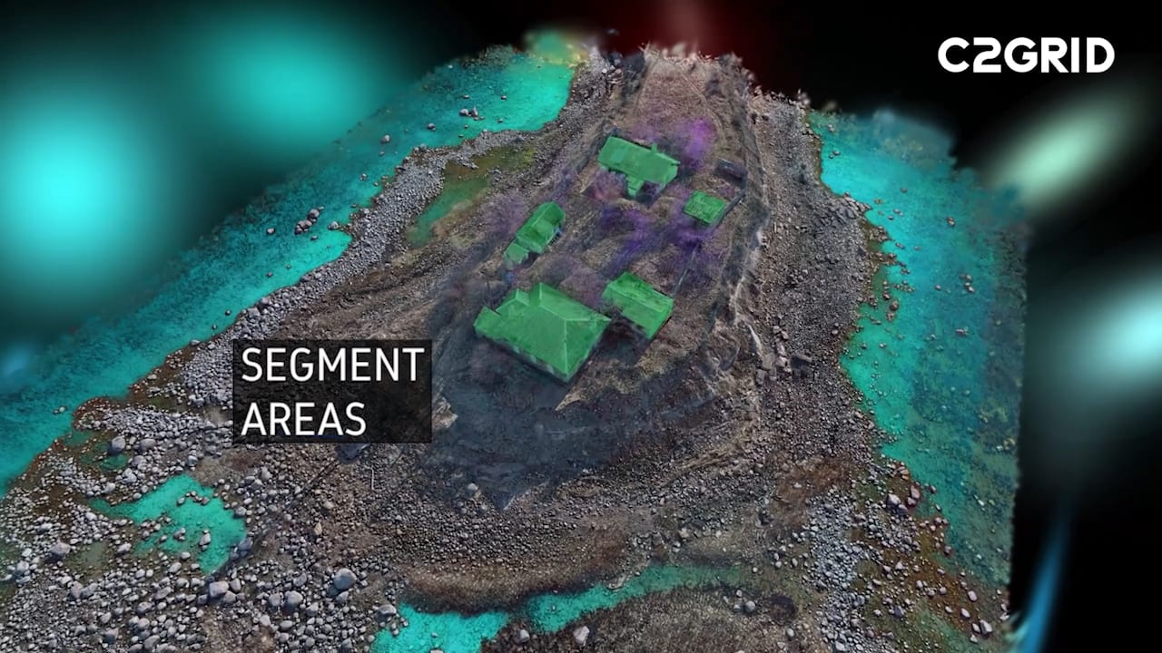
Automatic Detection
Every object in the scene detected and classified automatically.
Turn footage into faster decisions
Request a demo and see how C2Grid transforms raw drone footage into actionable 3D intelligence.