Dec 10, 2025
Read article

Turn battlefield footage into actionable 3D intelligence.
Use any drone footage
UAV, UGV & more
Reconstruct & detect
Automatically in minutes
Plan, mark & share
Straight into your C2







3D Intelligence & Mapping
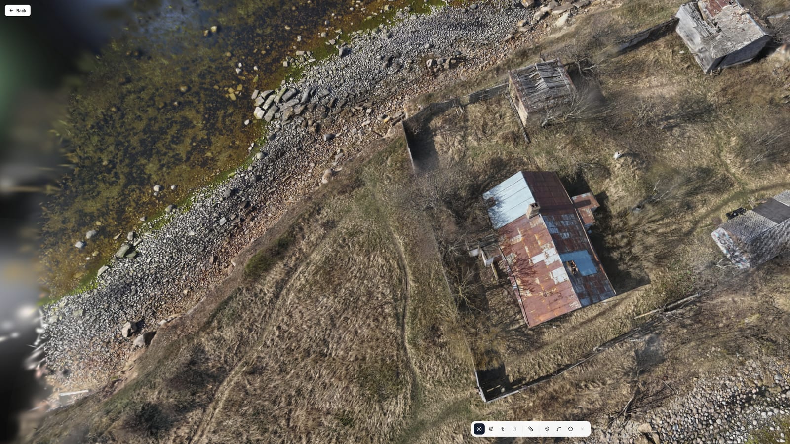
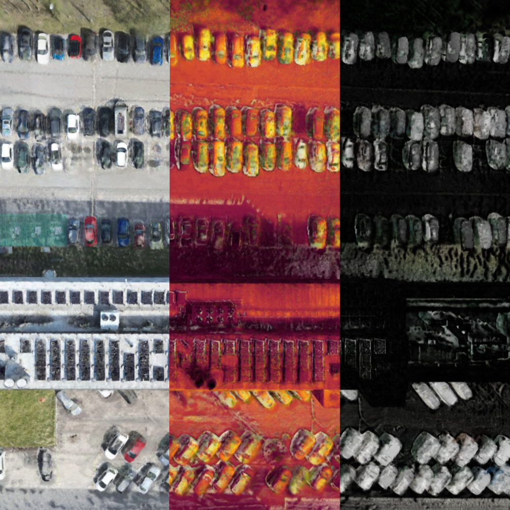
Accurate, georeferenced orthophotos of the operational area - the latest view, and comparison over time.
Learn moreWho it's for
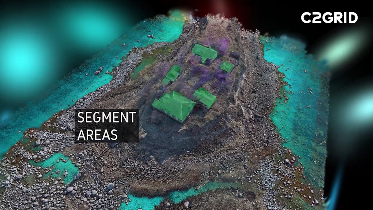
Fuse multi-sensor footage, detect changes and activity, and turn collected data into intelligence ready for ISTAR workflows.
Learn moreInsights
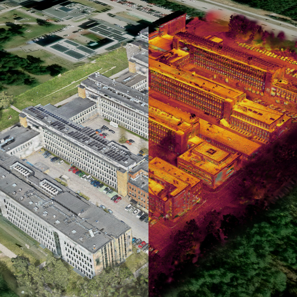
Request a demo and see how C2Grid transforms raw drone footage into actionable 3D intelligence.